Seems Harvard University dropped the Geography department back in 1948. Now, thanks to geospatial guru and Harvard grad, Jack Dangermond, they have a swanky new GIS lab.
Hello, Geotech
"Modeling our world," geography returns to Harvard
by Christopher Reed
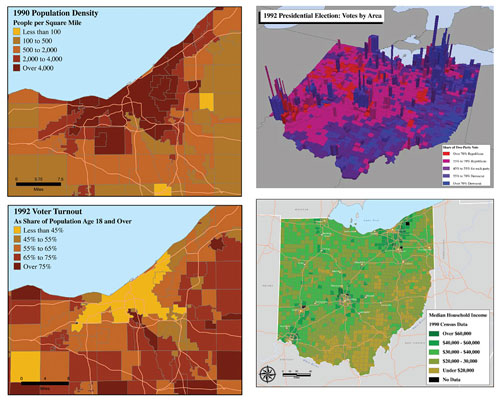
Take your geographic information system (GIS) for a spin around the block. It’s easy. Sit at your computer, which you have loaded with GIS software, and call up on the monitor a street map of Greater Boston. Superimpose on it a second map showing the household incomes of the citizenry. Those with the best dental work are in the suburbs, struggling scholars in Cambridge, the poor in the inner city. Add a third layer of census ethnicity information. All these data are public and readily available. Top it off with lines and dots showing Massachusetts Bay Transportation Authority bus routes and subway stations. Almost everyone is near a stop except in one big chunk of the city south of downtown. Your multilayered map will reveal to you what you might not have otherwise perceived, that the poorest, blackest Bostonians, in Roxbury and Dorchester, the ones least able to afford cars, are the least well served by public transportation.


No comments:
Post a Comment